


Meteorologists from the Philippine Atmospheric, Geophysical, and Astronomical Services Administration (PAGASA) issued a warning about Tropical Storm Leon, which may intensify into a typhoon within the next 24 hours. The storm is expected to affect several areas in Extreme Northern Luzon.
The areas that may experience the impact of the storm include Batanes, Cagayan including Babuyan Islands, Isabela, Apayao, Kalinga, Quirino, Nueva Vizcaya, Abra, Mountain Province, Ifugao, the northern portion of Benguet, Ilocos Norte, Ilocos Sur, La Union, Aurora, the northern portion of Quezon including the Polillo Islands, Camarines Norte, the eastern portion of Camarines Sur, Catanduanes, the eastern portion of Albay, the northeastern portion of Sorsogon, the eastern portion of Northern Samar, the northern portion of Eastern Samar.
According to PAGASA, the affected areas may expect winds of 39 to 61 kilometers per hour (km/h) and intermittent rains over the next 36 hours. The highest wind signal that may be raised during the storm is Wind Signal No.1.
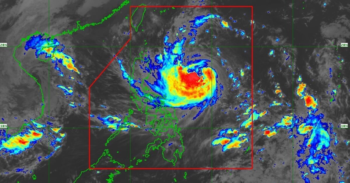
As of the latest bulletin, Tropical Storm Leon was located east of Echague, Isabela, with sustained winds of 100 kilometers per hour (km/h) and gusts reaching up to 125 km/h. The storm is projected to reach super typhoon category as it approaches Batanes by Wednesday or Thursday, with a possibility of a landfall scenario on the island.
PAGASA mentioned that Tropical Storm Leon is forecasted to exit the Philippine Area of Responsibility by Friday, November 1. Currently, 23 areas are under Wind Signal No.1 due to the approaching storm.