


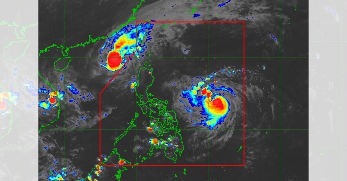
Recently formed tropical storm "Ofel" continues to intensify in strength and has officially become Typhoon Ofel, located in the Philippine Sea. According to this Bulletin of the tropical cyclone No.3, issued by the Philippine Atmospheric, Geophysical and Astronomical Services Administration (PAGASA) at 5 PM local time, the center of Ofel was noted 780 kilometers east of Virac, Catanduanes. Ofel has maximum sustained winds of 95 kilometers per hour, with gusts reaching up to 115 kilometers per hour.
The storm is currently moving towards the west-northwest at a speed of 30 km/h. At present, no area of the country has reported a signal from the tropical cyclone regarding the wind, PAGASA reported. Meanwhile, the government meteorological office announced that starting tomorrow, November 13, in Isabela, heavy rains are expected, while moderate precipitation is also anticipated in Abra, Apayao, Aurora, Kigayán, Ifugao, Kalin̂ge, and Mountain Province.
"The impact of "Ofel" is felt in the northern Philippines, which is suffering the effects of four previous typhoons."
Today, the storm reached the shores of the Philippines, known worldwide as "Ofel", bringing with it strong winds and significant rainfall. The Philippine news agency has relayed the words of the Philippine Atmospheric, Geophysical and Astronomical Services Administration, warning that the population is under serious threat due to an increase in waves to over three meters in low-lying or open coastal areas in several regions of the country. Philippine authorities declared a state of emergency and conducted large-scale evacuations in recent hours, affecting more than 28 thousand people in anticipation of the storm's approach, while over 4 thousand people were provided assistance in the areas outside the temporary shelters. On the other hand, the Philippine meteorological bureau reported that the wind speed accompanying the storm reached 120 km/h.