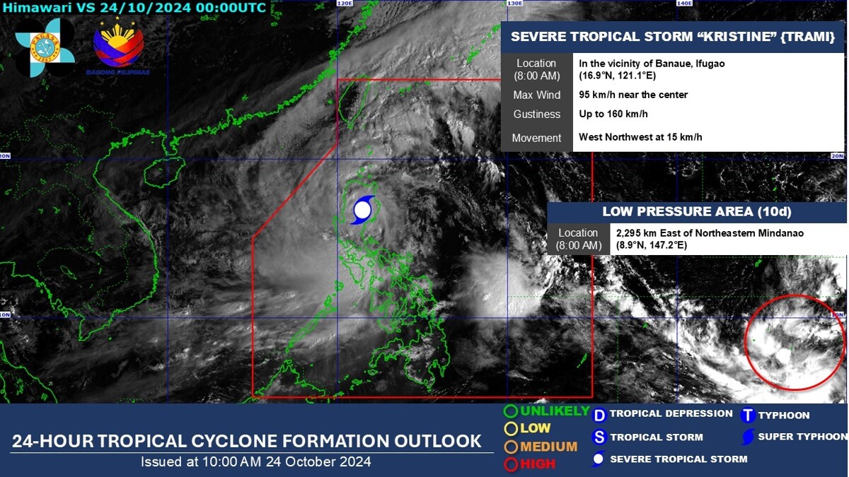
A tropical depression, located east of the northeastern boundary of the Philippine Area of Responsibility (PAR), has the potential to intensify into a tropical depression and will be given the local name 'Leon'. According to PAGASA's forecast, from October 23 to 29, this depression is expected to enter the northeastern boundary of PAR before moving towards Japan.
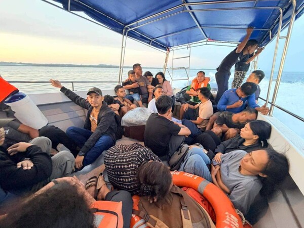
According to chief meteorologist PAGASA Kris Perez, due to this new tropical depression, the Philippines may expect rainfall not only in Northern Luzon but also in Central Luzon. It is anticipated that the tropical depression 'Kristine' will move toward the western seas of the Philippines and exit PAR by the end of the week.
However, PAGASA indicates that there is a chance of 'Kristine' returning to PAR, moving eastward or east-northwest after completing its traverse over the western sea of the Philippines on Sunday and Monday. The likelihood of such a development will depend on the behavior of atmospheric depression Leon moving east of PAR, which may revert to a tropical depression in the following 24 hours.
PAGASA noted: 'It is expected that Kristine will strengthen as it moves over the western sea of the Philippines.' It also stated that after heavy rainfall caused by Tropical Storm Kristine (international name: Tram), there is significant probability of another area of low pressure forming northeast of Mindanao into a tropical depression.
According to PAGASA, the LPA currently exists 2,295 km outside of the Philippine zone of responsibility (PAR). Although it is likely that the tropical cyclone will remain a strong tropical storm in the next five days, there is still a possibility of it intensifying to a typhoon.